
The Penfield Beach Walk
This tour offers self guided audio
Explore Downtown Fairfield and learn about some of our town’s notable history, architecture, and the men and women who have influenced it while you walk towards one of five town beaches. Take a pause to stand on the sand and look out at some of the area’s key points of interest.
Starting Point: Roger Sherman Green
Address: 1451 Post Rd, Fairfield, CT 06824
Distance: 2.3 miles
Surface: Flat terrain on sidewalks, asphalt roads and beaches
Elevation Gain: Negligible
Listen While Touring:
Step-by-Step Directions and Points of Interest:
1) Start at the Gazebo on Roger Sherman Green in downtown Fairfield

GAZEBO ON ROGER SHERMAN GREEN
Roger Sherman, a Connecticut lawyer and politician, was one of six men who signed the Declaration of Independence AND the Constitution. Benjamin Franklin and Robert Morris, a wealthy merchant from Pennsylvania, are best known among these six men.
2) Walk one block East on the Post Rd to the Old Post Road and turn right

ONE BLOCK EAST ON POST RD | TURN RIGHT
The Historic District includes 75 buildings on both sides of the Old Post Rd and Beach Rd from Old Post Rd to Sunnieholme Dr. Fairfield maintains strict rules about what owners can do to the front of homes in the district, which is listed in the National Register of Historic Places.
There are colonial era stone mile markers along Old Post Rd. Benjamin Franklin, postmaster under King George II, ordered the markers erected in 1753 at one-mile intervals to regulate postal rates by establishing official distances between communities. As the story goes, Franklin measured the road himself with an odometer strapped onto his carriage wheel. However, some historians say that Franklin was not involved with the placement of the stone markers.
3) Walk one block, cross to the other side of the street then turn left

walk one block | cross | turn left
4) Take the next right on Penfield Rd

penfield rd | Burr Mansion
The Burr Mansion is an excellent example of Greek Revival Architecture: classic white and with columns to resemble an ancient Greek temple. This style is an expression of America’s sense of destiny and spiritual descendent of ancient Greek democracy. The existing Burr Mansion, home of Thaddeus and Eunice Dennie Burr, was built in 1791 after the original structure was burned by the British in 1779. John Hancock, the prominent signer of the Declaration of Independence, married Dorothy Quincy at the Burr Mansion in 1775. Thaddeus was one of the richest men in Fairfield and a prominent patriot during the Revolution. His cousin, Aaron Burr, was a frequent visitor. During the British occupation and burning in 1779, Eunice stayed behind in the expectation that the British troops would not treat women harshly. This proved not to be true. The house was burned to the ground and she was mistreated. Her writings about the occupation and burning offer a tremendous primary source of information about events at that time from a woman who lived through it. Today the Burr Mansion is used for charitable events, weddings, and receptions.
5) Continue South on Penfield Rd. toward protection against the effects of global warming

LONG ISLAND SOUND
Fairfield’s Beach Area was hard hit by Hurricane Sandy in 2012. The flood water reached 11 ft. above mean-high tide. Homes South of Quincy St. were flooded above the ground floor level because the elevation in this low-lying area is only 6 or 7 feet. You’ll notice new homes, constructed after Sandy, have elevated first floors and flood-protected ground floors.
6) Penfield Pavilion is at the end of Penfield Rd. Walk through the pavilion to the beach

PENFIELD PAVILION
This newly constructed pavilion is managed by Fairfield’s Parks & Recreation Department and hosts beach goers, concerts, and weddings. Walk through the pavilion to the beach.
7) Views from the Beach

Views from the beach | from left to right as you face the water
Jennings Beach, another public beach East of Penfield Beach. Private property separates Penfield and Jennings beaches.
Public fishing jetty at the East end of Jennings Beach.
Breakwater at St. Mary’s by the Sea, which is part of Bridgeport. A Revolutionary War battery protected Black Rock Harbor, which is just beyond St. Mary’s by the Sea and Ash Creek from the British.
Fayerweather Island Light marks the entrance to Black Rock Harbor.
You may see one or two ferries in Long Island Sound on the horizon. These ferries, which carry up to 120 vehicles and 1,000 passengers, cross the sound between Bridgeport’s commercial harbor and Port Jefferson. A one-way trip takes about 1 hour and 15 minutes.
Penfield Reef Light is due South, straight off Penfield Beach. This light protects ships in Long Island Sound from Penfield Reef, which is visible at low tide. Constructed in 1874, Penfield Reef Light was one of the last offshore masonry lights. Most offshore lights were cast iron.
Return to downtown Fairfield:
8) When you leave the beach, walk West on Fairfield Beach Rd, Penfield Rd and go right on Lalley Blvd

west on fairfield beach rd/penfield rd | right on Lalley blvd
Continue North on Lalley, cross Paulding St then continue on Old Orchard Park, one of Fairfield’s beautiful hidden gems.
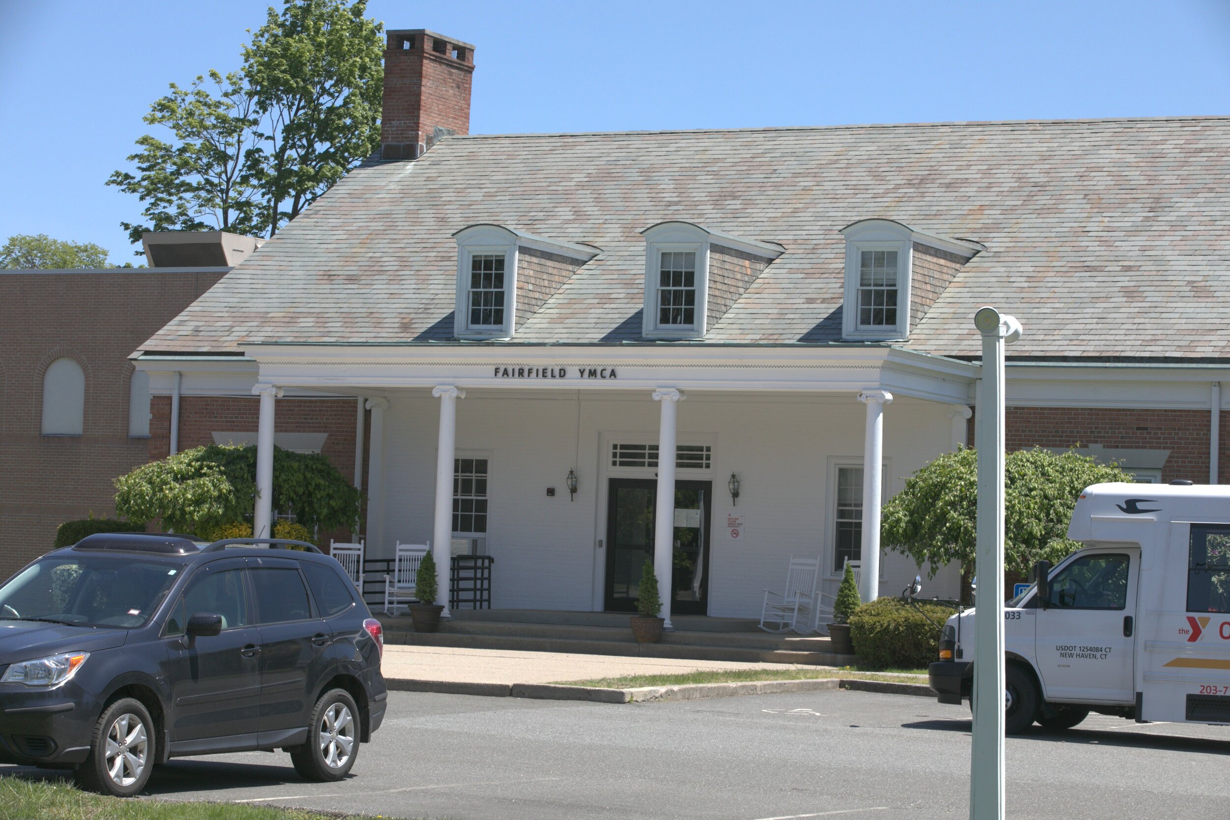
9) At the North end of Old Orchard Park, follow the stone walk to the back of the YMCA parking lot
follow stone walk to ymca | Old post rd
Walk through the parking lot, passing the YMCA building on your right and you’ll find yourself on the Old Post Rd.
10) Cross the street at the cross walk and walk along Old Post Rd to Sherman Green and the Gazebo

cross street | old post rd to sherman green gazebo